
York County Neighbor Block Sources
Public records can clarify the parcels around a York County address, but each source has a narrow role. The Property Viewer gives the map relationship. Assessment records show property details by owner, address, or parcel. The Recorder confirms a recorded transfer. A controlled election list and City association material have different boundaries. None is a census of every person on a block. Label each finding as an owner, a registrant, an association contact, or a historical clue rather than calling it a resident list.
| Block source | What it shows nearby | Access and boundary |
|---|---|---|
| Property Viewer | Parcel geometry, roads, owner and transfer clues, mapped jurisdictions | Free map; data are informational, not a survey or title opinion. |
| Assessment search | Owner, parcel, situs, mailing, and book-page bridge | Free owner, address, or parcel search; no published resident browse. |
| Recorder | Recorded transfers, plans, easements, and mortgage history | Party index is not a neighborhood directory. |
| Voter Street List | Defined fields for registered voters on a selected street or area | Written request and Election Code limits apply. |
| City association contacts | Voluntary civic orientation for City of York addresses | Not countywide and not a member roster. |
Owners and occupants are different facts. A parcel can have a mailing line that is a post-office box, estate representative, business, or another property. It should not be presented as a person's current location.
Use the source that fits the question. The map answers where parcels sit in relation to one another. Assessment data supplies the county's owner and property fields. A Recorder instrument can test a dated transfer or legal description. The City association layer is useful only for community orientation within the City. Keeping those roles separate prevents an address search from becoming a claim about people the record does not identify.
Map York County Neighbor Parcels
The County Property Viewer searches by property address, owner information, an 18-digit parcel ID number, a 13-digit PIDN, or the York County geocoder. A search result can be selected to zoom to the feature. The map can also be explored by clicking a feature. Its parcel service carries site-address components, owner and mailing fields, deed and transfer references, parcel identity, legal description, municipal and district context, and building data. Use these fields to identify a parcel, not to infer a full household.
The default viewer configuration does not advertise a public buffer, radius, or measure-select tool. A tight, manual map review is the documented method: zoom out, look at parcel outlines and road lines, and select actual contiguous or facing parcels. A nearby polygon is not necessarily a next-door property until its boundary and street access are checked.
The same GIS environment can place parcels beside municipal boundaries, ZIP areas, voting districts, precinct and poll fields, school districts, zoning, and flood information. Those layers are valuable for checking which jurisdiction an address falls in. They are context, not proof of a person's location or a substitute for a recorded plan. County map data are informational and should be checked against the underlying assessment or Recorder record when a parcel boundary or ownership detail matters.
Note: Preserve the property address, PIDN or UPI, owner, and deed reference for each parcel before moving to another map feature.
York County Neighbor Parcel Flow
A block lookup works from one focal parcel outward. The map is the geographic lead; the assessment record and Recorder are the verification channels. This smaller workflow differs from tracing an entire named road because it tests only the parcels that actually surround the starting point.
- Search the focal address, owner, PIDN, or geocoder in the Property Viewer and select the matching parcel.
- Zoom out to view road lines and nearby polygon boundaries, then click each parcel that is contiguous or faces the same block.
- Record the property address, PIDN or UPI, owner, and deed or transfer reference shown for each selected parcel.
- Open each assessment record and use the Recorder to verify the parcel and recorded instrument before drawing a conclusion.
For a longer road-by-road records chain, use the York County street directory. That address workflow goes beyond the immediate parcel group.
York County Neighbor Ownership Limits
The assessment result and map label identify an owner of record, not everyone who may use an address. The Property Viewer can show a situs address, a mailing address, current deed and transfer details, and two displayed prior-transfer sets. Those fields are useful for following a property record, but they do not establish ordinary residence, family relationships, or the number of people at a parcel. A legal description and PIDN are stronger cross-checks than a matching street number alone.
Recorded deeds also need context. The Recorder divides its paths among Landex for newer material, SearchIQS for historical remote access, and office terminals, microfilm, or books when a document needs closer review. A deed party is a dated transaction fact. It is not an automatic answer to who currently uses a nearby parcel.
York County Neighbor Street Lists
York County's Street List is a controlled election record, not a map layer. The County says it includes a registered voter's name, residential and mailing address, party, and active or inactive status. County residents may request selected areas or street lists in person or by mail; the County states an electronic copy costs $20 and a printed copy costs $0.50 per page. Whole-county lists go through the Pennsylvania Department of State.
York County Elections and Voter Registration is the official office route shown in this block-record reference.
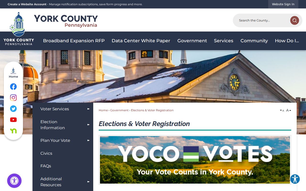
By contrast, VOTE.PA's online registration-status service is an individual self-check. Under 25 Pa.C.S. § 1404, voter-list access requires identification and a written use statement, with uses limited to elections, political activities, or law enforcement. Protected participants, nonregistrants, and recent address changes mean even an authorized list is not a household count.
| Official record channel | What it can provide | Why it differs from commercial tools |
|---|---|---|
| County parcel and Recorder records | Dated property ownership and transfer facts | Official source, but no claim about every nearby resident. |
| Controlled street-list request | Defined registered-voter fields for the requested geography | Statutory request and permitted-use rules govern access. |
| Commercial neighbor-lookup category | Mixed-source search results | Not official confirmation; records can be stale or join similar names. |
York County Neighbor Association Records
The City of York says it works with 17 neighborhood associations and directs residents to the Alliance of Neighborhood Associations, or ANA, for the full listing. This is a civic orientation layer for an address inside the City of York only. The City describes association membership as voluntary and often informal, unlike a mandatory HOA. A neighborhood label, meeting notice, or contact does not prove that a person lives at an address or belongs to the group.
The City of York neighborhood-associations page supplies the association source pictured for this block-record reference.
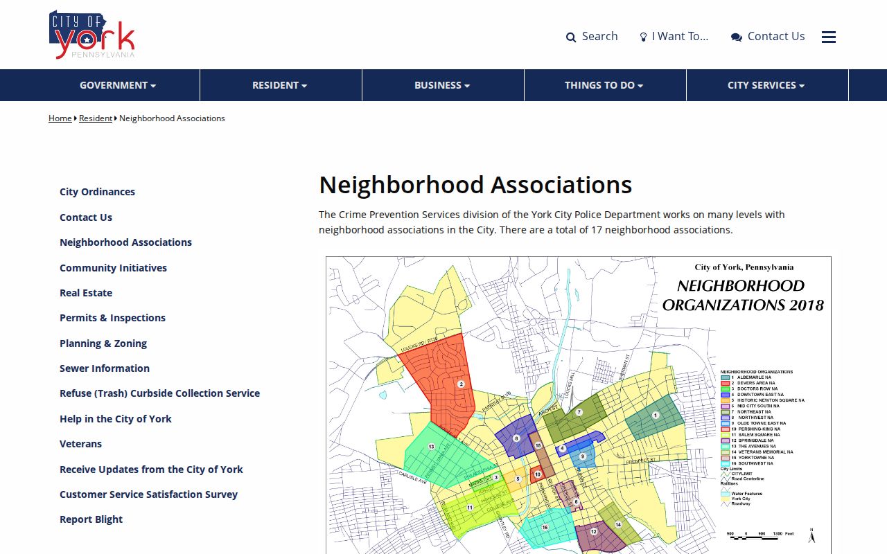
The City's contact PDF is dated 2021, so it is a historical status snapshot rather than confirmation of present activity. Check current details with ANA or the City before relying on any meeting or contact information.
| City-published grouping | Status shown in City materials | Careful use |
|---|---|---|
| Alliance of Neighborhood Associations | City links ANA as the full-listing and area-contact umbrella. | Use as a current-contact route for a City address. |
| Avenues, Dever's Area, Historic Newton Square, NENA, Olde Town East, Salem Square, Springdale, Veterans Memorial Park | Representative, meeting, or contact information appears in the 2021 City PDF. | Verify activity before treating the listing as current. |
| Doctors Row, Southwest, Downtown East, Northwest, West Bank, WeCo, Pershing and King, Yorktowne, Princess & Pine | Some were marked inactive, without meetings, or no longer an association. | An old map or contact sheet is not evidence of an active group. |
York County Neighbor City Records
For a City of York address, permit or inspection activity can add a date-specific property clue. The City's Permits and Inspections Bureau says most permit and license applications use OpenGov, and it offers public kiosks. The City does not advertise a public historical address-results search or a coverage date. A focused Right-to-Know request to the proper City custodian is the documented fallback when an application or record must be checked.
York City's Permits and Inspections Bureau is the source shown for this address-specific block-record path.
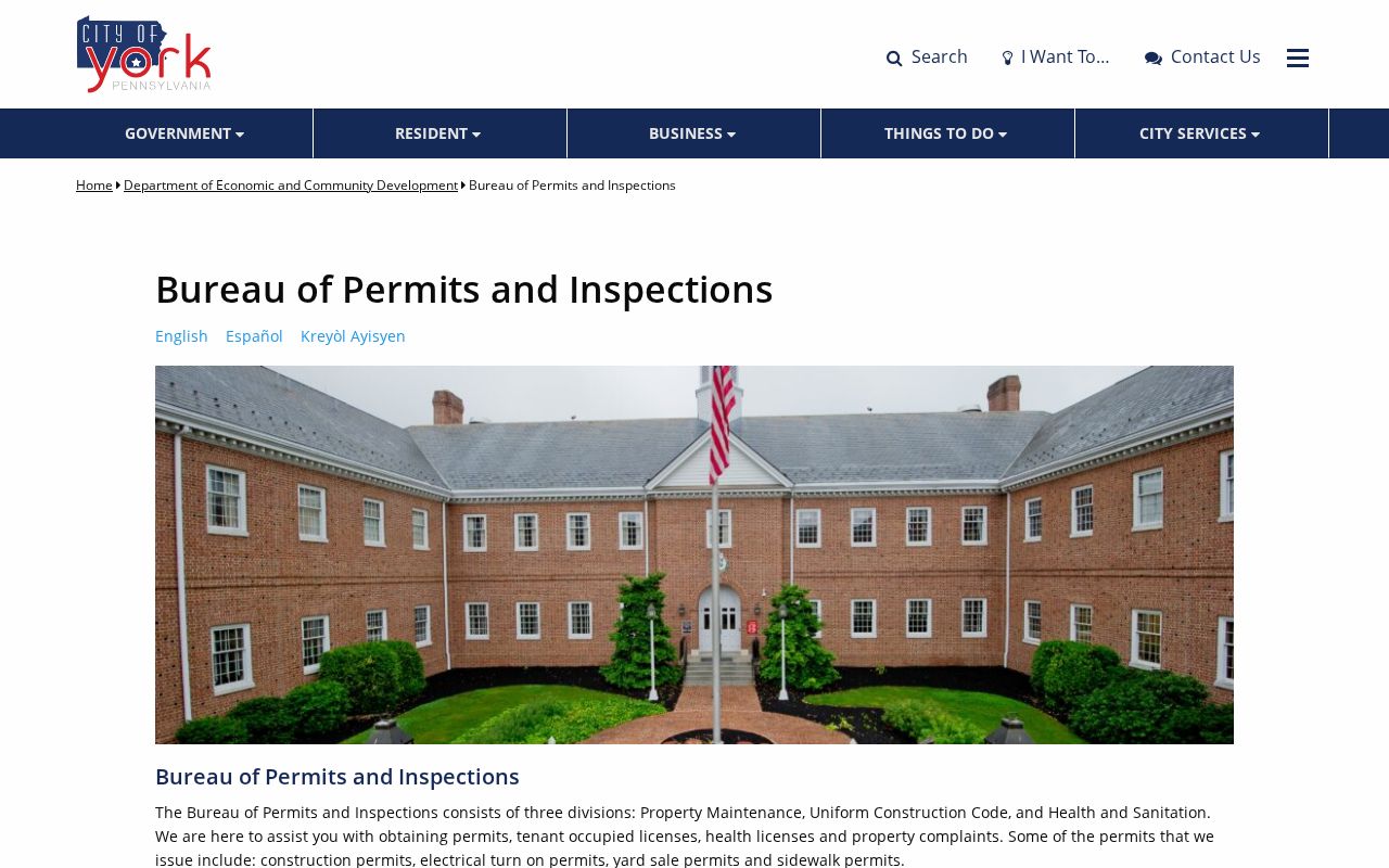
York County is broader than York City. Capture the municipality as well as the postal label before comparing nearby records. Parcel, municipal, voting-district, and ZIP layers can sit close together in the GIS environment without describing the same jurisdiction.
York County Neighbor Lookup Limits
Privacy limits stop a block search at the parcel line. Utility customer lists, delivery data, DMV addresses, tenancy records, and ordinary household composition are not available from the parcel, assessment, or Recorder sources reviewed here. The Address Confidentiality Program can provide an eligible participant with a substitute address for voter registration and several state, court, and utility records. Its protection is part of a safety plan and should never be bypassed.
Lawful use. Use York County neighbor records for lawful civic, family-history, or personal record verification. Do not use any result to watch, stalk, harass, intimidate, or harm another person.
A restricted, missing, or conflicting result is not a reason to infer hidden facts. Ask the original custodian about a specific parcel, instrument, election-record procedure, or City request instead. Pennsylvania's stalking and harassment laws still apply when information began in a public record.
Note: The most reliable block conclusion identifies a dated property record and its source, not a claim about every person nearby.