
York County Previous Residents by Era
A reliable York County previous-residents search changes source as the address moves back in time. Current assessment data identify the parcel and may show the deed Book and Page. Recent recorded instruments use the Landex route. Older deed work moves through SearchIQS and the Archives. Historic directories and census schedules establish dated household leads, while maps test whether the structure, street name, or lot was the same. Each channel has a different date range and purpose, so record both the evidence and the handoff to the next source.
| Address-history source | Years it covers | Where held | What it shows |
|---|---|---|---|
| Assessment and Property Viewer | Current web data | York County assessment and GIS | Parcel identifiers, situs, mailing owner, Book/Page clues |
| Landex document path | Deeds and miscellaneous documents 1944–present | Recorder remote access | Recent deed and document route |
| SearchIQS historical route | 1749–1980 | Recorder-directed remote route | Older document search bridge |
| Archives grantor/grantee indexes | 1749–1943 | York County Archives | Historic deed-book and index path |
| Polk street directories | 1919–1997 documented series | York County History Center | Address-to-occupant or business lead |
| Federal census | Public through 1950 | National Archives and library access | Dated household context |
| York City Sanborn maps | 1887 and 1894 | Library of Congress | Building, lot, and street context |
Begin with the parcel when the address is known. Begin with the directory or census year when a family story gives only a date and neighborhood. Neither path should skip the deed reference and legal description when an older street form creates doubt.
Note: Preserve each source’s stated range before moving to another route, because York County historical access changes with document date.
York County Parcel Starting Point
For a known address, begin at the York County Assessment & Tax Claim public search. Its Basic Search supports owner, parcel, and address paths. The Property Viewer adds map geometry and identifies the relationship among the situs address, mailing address, municipality, parcel identifiers, legal description, and deed clues. Preserve the UPI or PID, current municipality, Book/Page reference, and the exact legal description before moving backward. A mailing address is correspondence information for an owner, not proof of present occupancy at either address.
The York County History Center property-research gateway makes the same practical point: start from a recent transfer and work backward. It cautions that some transfers were never recorded and that unrecorded deeds can survive in its collections. That material can corroborate a history, but the official recorded chain remains the backbone for a parcel trail.
The History Center’s property-research gateway connects a York address with directories, maps, family files, and record guidance.
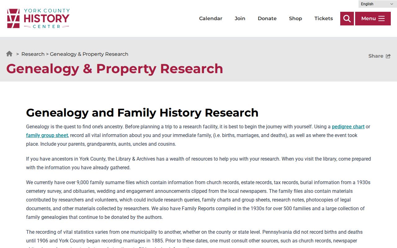
Use the History Center after the parcel details are fixed, especially when an archival map or directory can test a dated clue from the deed trail.
York County Previous Residents Deed Chain
Ownership and occupancy are different questions, but the deed chain supplies the structured backbone for a previous-residents search. York County’s Recorder directs researchers to the current deed’s recital after the legal description, often introduced by “It being the same premises which ….” That recital cites the prior Book and Page. Retrieve the cited deed, read its recital, and repeat. This direct reference is safer than searching a modern street number alone because parcels can be merged, divided, or described under an earlier plan.
- Capture the current parcel identifier, legal description, municipality, owner record, and Book/Page from the assessment record.
- Retrieve the current purchase deed through the Recorder’s route and locate the prior Book/Page reference after the legal description.
- Treat the buyer in the older transaction as the grantee and locate that person’s earlier purchase where the cited reference leads.
- Repeat the Book/Page handoff backward, saving every name variant, plan reference, parcel change, and date.
- When the web route ends, use the Archives, courthouse terminals, microfilm, or deed books for the applicable older range.
- Grantor
- The party transferring an interest in a recorded deed.
- Grantee
- The party receiving that interest. A grantee in one deed may become the grantor in the next transfer.
- Chain of title
- The linked sequence of recorded transfers for the same legal parcel, read backward through the cited Book and Page references.
- Legal description
- The land description in a deed, often tied to a lot, plan, tract, or parcel identifier, that can outlast a street-name change.
York County Record Custody Split
The York County backward trail changes keeper in the middle. The County Services index separates deeds at the Archives for 1749 through 1943 from deeds at the Recorder for 1943 to the present. Its remote routes overlap differently: Landex describes deeds and miscellaneous documents from 1944 forward, while SearchIQS is linked for documents from 1749 through 1980. Those dates are not contradictory substitutes. They describe different custodians and remote-access paths, so confirm the particular document and image route with the Recorder or Archives when a gap appears.
| Archives route | 1749–1943 deeds and grantor/grantee index path for historic county records |
|---|---|
| SearchIQS route | County-described remote document coverage from 1749–1980 |
| Landex route | Deeds and miscellaneous documents from 1944; parcel lookup from 2001 |
| Counter route | Recorder public computers, older index books, microfilm, and deed books when remote access is incomplete |
SearchIQS is the Recorder-directed historical remote route, with separate guest-search and account paths.
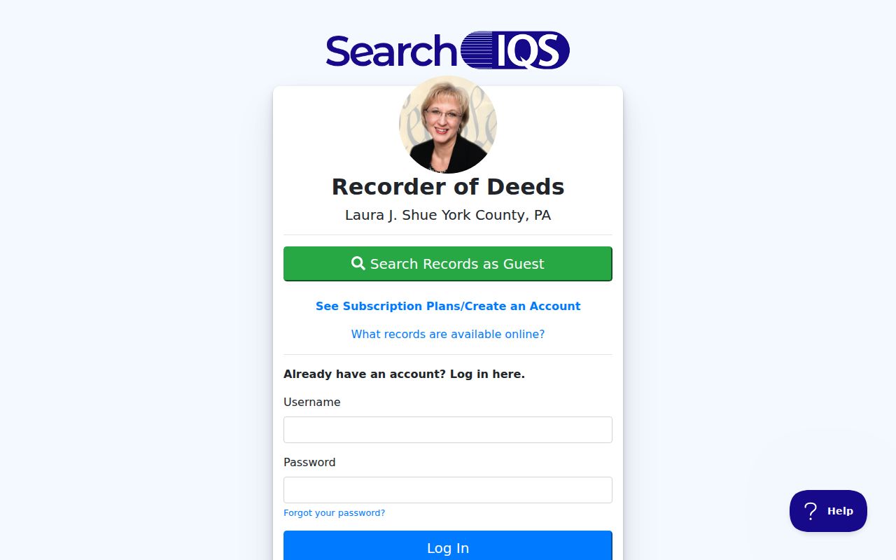
The historical route is useful for document discovery, while the appropriate county office remains the place to confirm the record and obtain a certified copy.
Landex Webstore is the public document-store entry point used for the Recorder’s more recent remote-access route.
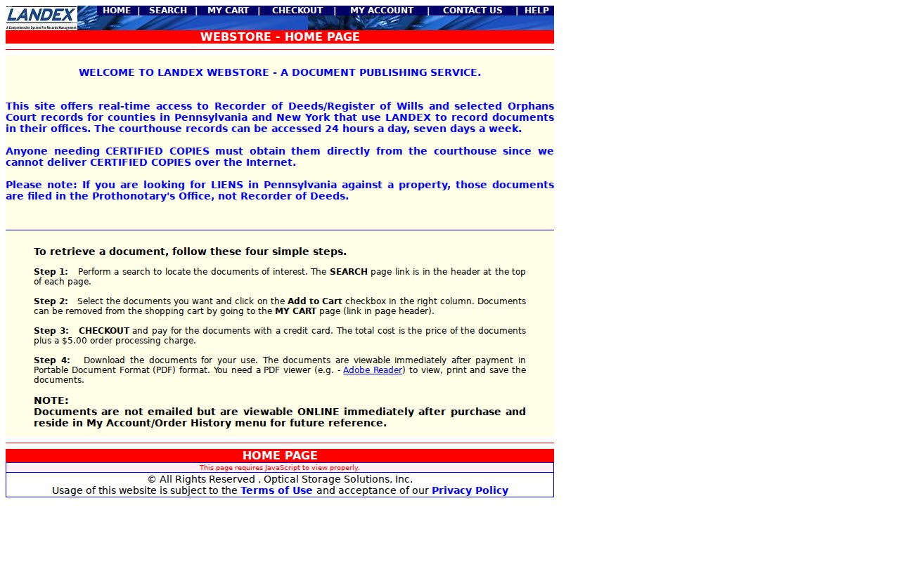
The overlap with SearchIQS is a reason to note the record date and route, not to assume one online system contains every useful image.
York County Past Residents in Directories
Deeds track recorded transfers, not every household. For the person layer, pair a directory date with a census schedule and supporting local material. York’s confirmed Polk Street Directory series runs from 1919 to 1997, and the City study used it as an address-to-occupant or business source. Earlier York titles are cataloged on FamilySearch. The historical collections themselves are described on the York County city directory page, where the publisher and shelf details belong. A directory or telephone listing is a dated listing, not proof of a complete household.
- Choose a target year from the deed chain, map evidence, or family record.
- Check the applicable York directory title by name and, where available, the Polk street listing by address.
- Record the exact address, spelling, date, and page, including any address range or rear qualifier.
- Pair the finding with the appropriate federal census, publicly available through 1950, for household context.
- Use newspaper death and marriage indexes, cemetery cards, probate, or church registers to test a disappearance or relationship.
The History Center’s family guide identifies local newspaper death and marriage indexes from 1783 to 1909, the 1749–1940 Will Index, and York septennial census microfilm for 1786, 1793, 1800, and 1807. These sources help close a past-residents trail, but probate should not be assumed merely because a person disappears from an address listing.
York County Street Name Check
Address continuity is a York County research problem, not a clerical detail. Keep the historic municipality, legal description, lot or plan reference, UPI or PID, Book/Page, and every road-name variation beside each result. The City of York’s Northwest Triangle evidence shows North Water Street on maps from 1887, 1894, and 1908, then North Pershing Avenue from 1933 onward. Search both names and inspect the map before concluding that an address or prior resident has vanished.
The County has no verified countywide list of historical street changes with effective years. Use the City of York maps portal, municipal ordinance material, historic deeds and plans, the Archives, and address maps to test a suspected change. A York postal label can also span different borough or township jurisdictions, so it is not a substitute for the municipality on the parcel record.
Note: A matching street number without a matching legal description or historic map location is not enough to join two older York County records.
York County Previous Residents Map Evidence
Maps date the physical setting around a former address. For York City, the Library of Congress has a March 1887 Sanborn item with 25 sheets and a 1894 item with 68 sheets. The latter also includes sheets for secondary places such as Dallastown, Emigsville, Glen Rock, North York or Mayersville, Red Lion, and Shrewsbury. Other municipalities have their own limited Sanborn series. Check that the address falls within the mapped place and sheet before treating the map as evidence.
A map can show lot context, building footprints, and use clues. It cannot supply a complete resident list or settle a rural road-number change by itself. Pair the map date with the legal parcel, a deed reference, and an applicable directory or census year. This comparison prevents a familiar-looking place name from becoming an unsupported identity match.
Note: Sanborn coverage depends on the mapped municipality and sheet, so a missing image is not evidence that an address did not exist.
York County Previous Residents House History
York County house history works best as a careful record comparison: parcel first, deed recital next, then dated directory, census, map, and local-history evidence. The Recorder cannot perform a title search for a requester, though staff can explain the public computers. For material outside land records, the County directs genealogy questions to the Archives. The History Center’s advance-reservation research service is the local fallback when a directory, map, surname file, or archival item is needed to test an earlier address.
Lawful use. Use York County house-history and family-history records for personal, lawful research. Do not use a historical address trail to track, threaten, stalk, or harass a living person.
Past residents may be a useful phrase for a historical question, but a record trail should never be treated as a live-person locator. Keep findings within the date and purpose of the document that supports them.