
York County ZIP Code Directory Coverage
The York County Planning Commission ZIP layer is the fullest County-maintained geographic reference found for this ZIP code directory. Its 2025 metadata describes 51 polygon features in the York County geographic area. The table preserves the source’s careful distinction: an area associated with a postal label is not necessarily a municipal boundary. Check a particular delivery address with USPS before relying on any row.
| ZIP | Area in County dataset | Postal label | Boundary note |
|---|---|---|---|
| 17011 | County geographic-area portion | Camp Hill | Cross-county label |
| 17019 | Dillsburg area | Dillsburg | County-area portion |
| 17055 | County geographic-area portion | Mechanicsburg | Cross-county label |
| 17070 | County geographic-area portion | New Cumberland | Cross-county label |
| 17301 | Abbottstown area | Abbottstown | County-area portion |
| 17302 | Airville area | Airville | County-area portion |
| 17309 | Brogue area | Brogue | County-area portion |
| 17311 | Codorus area | Codorus | Small polygon |
| 17312 | Craley area | Craley | Small polygon |
| 17313 | Dallastown area | Dallastown | County-area portion |
| 17314 | Delta area | Delta | County-area portion |
| 17315 | Dover area | Dover | County-area portion |
| 17316 | East Berlin area | East Berlin | County-area portion |
| 17317 | East Prospect area | East Prospect | Small polygon |
| 17318 | Emigsville area | Emigsville | Small polygon |
| 17319 | Etters area | Etters | County-area portion |
| 17321 | Fawn Grove area | Fawn Grove | County-area portion |
| 17322 | Felton area | Felton | County-area portion |
| 17323 | Franklintown area | Franklintown | Small polygon |
| 17327 | Glen Rock area | Glen Rock | County-area portion |
| 17329 | Glenville area | Glenville | County-area portion |
| 17331 | Hanover area | Hanover | Postal area may extend beyond municipality |
| 17339 | Lewisberry area | Lewisberry | County-area portion |
| 17342 | Loganville area | Loganville | Small polygon |
| 17345 | Manchester area | Manchester | County-area portion |
| 17346 | Menges Mills area | Menges Mills | County-area portion |
| 17347 | Mount Wolf area | Mount Wolf | County-area portion |
| 17349 | New Freedom area | New Freedom | County-area portion |
| 17352 | New Park area | New Park | County-area portion |
| 17354 | Porters Sideling area | Porters Sideling | Small polygon |
| 17355 | Railroad area | Railroad | Small polygon |
| 17356 | Red Lion area | Red Lion | County-area portion |
| 17358 | Rossville area | Rossville | County-area portion |
| 17360 | Seven Valleys area | Seven Valleys | County-area portion |
| 17361 | Shrewsbury area | Shrewsbury | County-area portion |
| 17362 | Spring Grove area | Spring Grove | County-area portion |
| 17363 | Stewartstown area | Stewartstown | County-area portion |
| 17364 | Thomasville area | Thomasville | County-area portion |
| 17365 | Wellsville area | Wellsville | County-area portion |
| 17366 | Windsor area | Windsor | County-area portion |
| 17368 | Wrightsville area | Wrightsville | County-area portion |
| 17370 | York Haven area | York Haven | County-area portion |
| 17371 | York New Salem area | York New Salem | Small polygon |
| 17401 | City and downtown York area | York | Postal label is not City limits |
| 17402 | East York and broader postal area | York | Exact address controls |
| 17403 | York postal area | York | Postal label is not City limits |
| 17404 | York postal area | York | Postal label is not City limits |
| 17405 | Downtown York geographic feature | Downtown York | Special postal result, verify delivery |
| 17406 | Hallam, Hellam, and Yorkana area | Hallam | USPS decides a specific mailing city |
| 17407 | Jacobus area | Jacobus | Small polygon |
| 17408 | West York and York postal area | York | Postal and municipal identity can differ |
The directory is geographic, not a list of people. A ZIP row identifies an area to investigate and helps prevent a postal label from being mistaken for a local-government answer.
York County ZIP Code Geography
The Planning Commission stores ZIP polygons beside parcel, road, address-point, municipal-boundary, and voting-district information. That comparison is valuable because York County has cities, boroughs, townships, rural routes, and postal areas that cross jurisdictional lines. A York label in the mail field can cover a place outside City of York. Capture the municipality from the parcel or map record instead of deciding jurisdiction from the postal city.
For example, the County dataset associates 17406 with the Hallam, Hellam, and Yorkana area while the postal-label question still needs address-level USPS confirmation. This is a local records-geography issue, not an error in either system.
Verify a York County ZIP Code
Use the USPS ZIP Code Lookup before treating a mailing label as current. USPS offers address-to-ZIP, city-and-state-to-ZIP, and city-by-ZIP routes. It warns that a result does not confirm that a person or company is at an address, and it may standardize the address entered.
| USPS route | Documented input and result |
|---|---|
| By Address | Street address, city, and state are used; company and apartment or suite fields are optional. |
| By City and State | City and state are required and return associated ZIP codes. |
| Cities by ZIP Code | A ZIP code is required and returns associated city names. |
Start with the full physical address, retain USPS formatting, compare the result with the YCPC polygon, then use the municipality and parcel identifiers for public-record research. That workflow verifies delivery geography without claiming a ZIP code proves residence.
The official USPS lookup is the source shown here for address-to-ZIP verification.
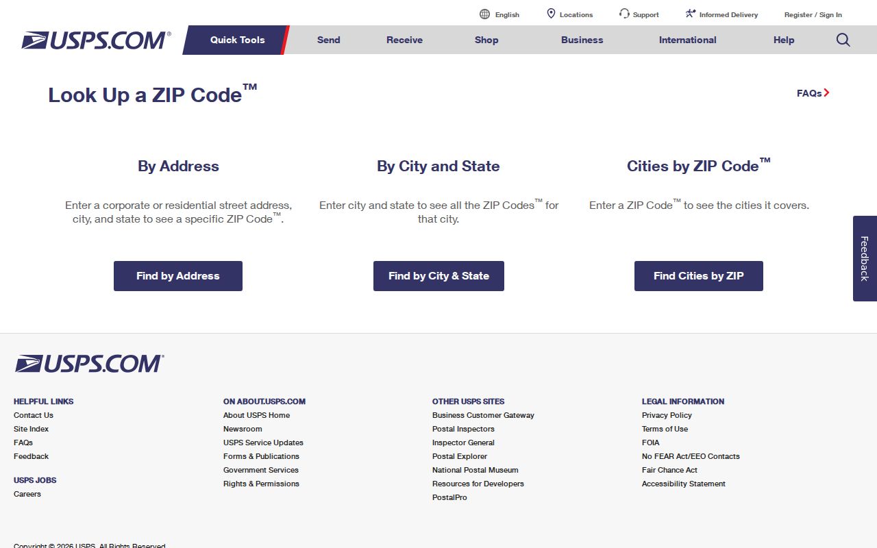
USPS supplies the current delivery check, while County GIS supplies the surrounding local geography needed to interpret it.
Find York County Records After a ZIP
A York County ZIP code directory is a starting point, not a ZIP-wide resident search. No official County assessor, GIS, or voter portal with a public user-facing ZIP-wide property or resident result filter was verified. The Assessment screen publishes owner, parcel, address, Advanced/Sales, and Map modes. The Property Viewer publishes property address, owner information, 18-digit parcel or lease number, 13-digit PIDN, and County Geocoder routes.
- Confirm the address and ZIP with USPS, then compare the property’s municipality in County GIS.
- Search assessment or the Property Viewer by the known address, owner, or parcel identifier, not by an assumed ZIP filter.
- Read the property ZIP field only after locating the parcel, and distinguish it from the owner mailing ZIP.
- For a controlled voter-list request, follow the statutory county or state process. The published routes do not authorize a general ZIP-based resident browse.
Once a location narrows to a particular street, the York County street directory has the address-to-parcel and deed workflow. A ZIP boundary alone cannot produce the same record trail.
York County ZIP Code Record Keys
Postal delivery, physical location, and deed identity use different fields. Preserve all of them rather than replacing a stronger parcel key with a ZIP label.
- ZIP code
- A USPS delivery-routing code. It is not a municipal, school-district, voting-precinct, or County boundary.
- ZIP+4
- An added delivery segment used with a base ZIP code. Use USPS to verify the formatted address.
- PO-box ZIP
- A ZIP used for Post Office box delivery. It does not identify a physical parcel or establish a recipient’s location.
- Unique ZIP
- A delivery code assigned to a single organization or destination. Confirm its current mailing use with USPS.
- Situs address
- The physical location of the parcel in the assessment and GIS records.
- Owner mailing address
- The correspondence address in a parcel record. It may be a PO box, trustee, business, estate, or other property.
- UPI or PID
- The durable County parcel identifier used with the legal description and deed reference when an address changes.
- Carrier route
- A mail-delivery grouping, not a substitute for a parcel, municipal boundary, or resident list.
York County ZIP Code Map Layers
The York County GIS and Maps gateway leads to the Planning Commission’s Property Viewer, GIS portal, datasets, and municipal resources. Use its ZIP areas with parcel outlines, roads, addresses, and municipal boundaries to test whether a postal result fits the property’s local setting. The County warns that GIS is public-information mapping, not a recorded plan, survey, official tax map, or engineering schematic.
The County GIS gateway is the source shown in this image for York County postal map context.
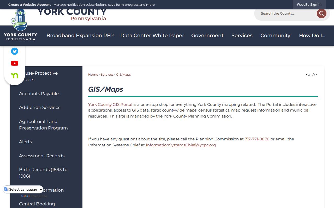
The map layer is especially helpful when a road crosses a borough or township boundary that a postal label does not reveal.
York City and ZIP Code Boundaries
City limits and postal geography answer different questions. The 17401, 17403, and 17404 rows use YORK as a postal label, but that label does not define City of York limits. The 17408 row likewise reaches West York and the York postal area. A City annexation map may show a jurisdictional change without proving that USPS changed a mailing line in the same period.
The City of York maps collection provides annexation, ward, district, and neighborhood context for City addresses. Use it after USPS and County GIS identify the place, not as a replacement for an address check.
The City maps collection is the source shown below for the municipal context behind a York County ZIP code result.
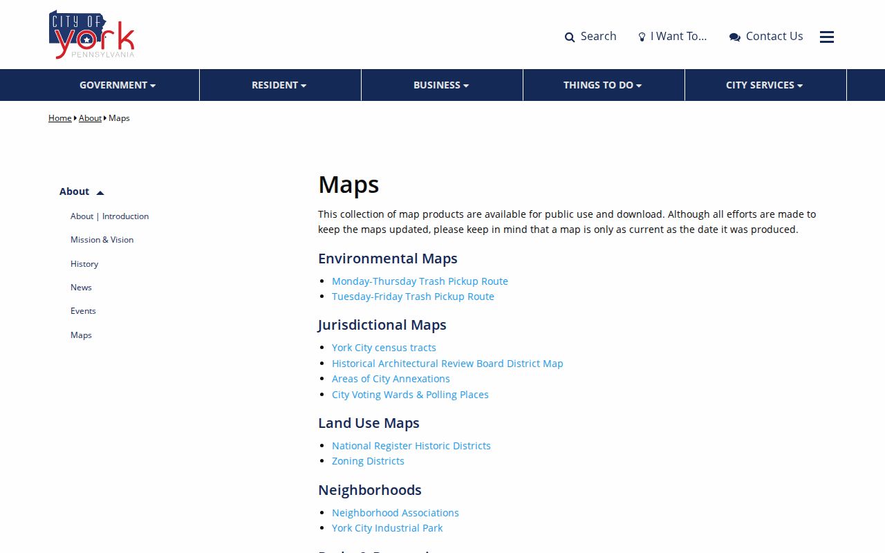
Comparing postal, parcel, and municipal layers prevents a postal-city name from being mistaken for the government office that keeps a record.
York County ZIP Code Property Routes
After an address is confirmed, Assessment and the Property Viewer can supply the current parcel, situs, owner mailing field, deed or transfer clues, and legal-description bridge. The underlying County parcel layer includes a property ZIP attribute, but the published search controls do not expose it as a ZIP-wide query. A named owner and a mailing line are property-record facts, not proof of a current occupant.
For a recorded ownership trail, use the parcel identifier, legal description, and deed reference with the Recorder. For an old address, keep the historic municipality and street name. ZIP codes provide modern orientation, while deeds and maps preserve the property identity.
Note: A postal ZIP can help scope an address check, but only the underlying dated record states the role and date it actually documents.
York County ZIP Code and Old Addresses
Historical address work is street-based, not ZIP-based. York City reverse directories, historic maps, deeds, legal descriptions, and plan references are stronger tools for an older property question. The City study that distinguishes North Water Street from North Pershing Avenue shows why an old name can defeat a modern address search. The research did not verify a County-wide street-renaming, renumbering, or ZIP-realignment list with effective dates.
Record the search date, validate a current address with USPS, and use municipal ordinances, the Archives, deeds, and historic maps to resolve an older location. Do not project a current postal label backward without evidence.
York County ZIP Record Limits
The York County ZIP code directory shows postal areas and the correct routes for checking them. It does not convert a ZIP into a resident roster, municipal boundary, or proof that a person receives mail at a parcel. Protected addresses, unregistered people, and ordinary household information do not appear as a single public ZIP dataset.
Postal check first. Verify the physical address with USPS, compare it with County GIS, and then ask the records custodian for the specific property or administrative record needed.